Monday 28 January 2013

No 15 Ghana

Philips' School Room Map of Ghana
George Philip & Sons Ltd 
Copyright 1960

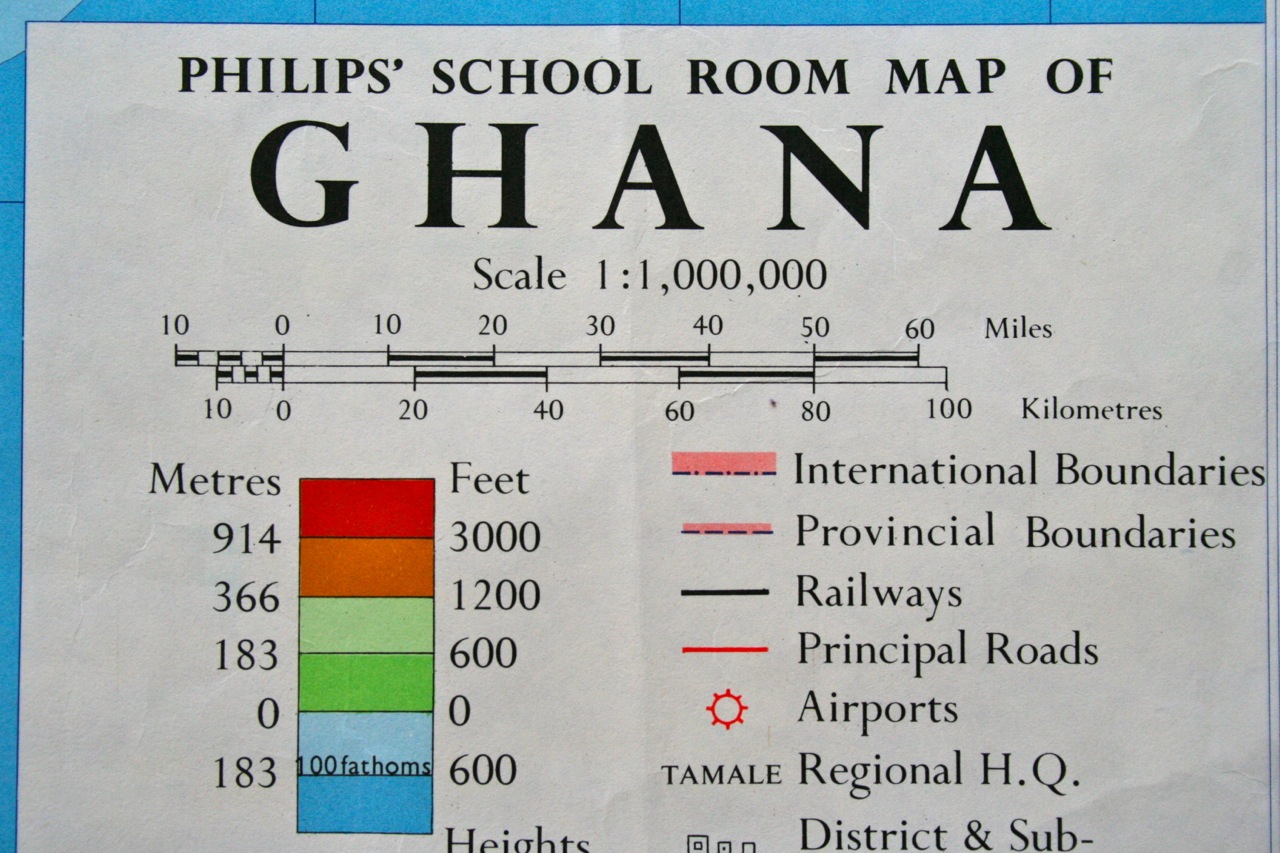
Folded carefully for many years! Colours are vivid.


Friday 25 January 2013

No 14 The South Wales Industrial Region


Philips' Single-Feature Wall Atlas: British Isles, The South Wales Industrial Region (13)
Copyright, George Philip & Son, Ltd - Date (?) 1950-60
The London Geographical Institute

90x59cm


The colours on this map are superb


Tuesday 22 January 2013

No 13 South-East England


Philips' Single-Feature Wall Atlas: British Isles, South-East England (14)
Copyright, George Philip & Son, Ltd - Date (?) 1950-60
The London Geographical Institute
90x59cm


Wednesday 16 January 2013

No. 12 Egypt


Philips' Bible Lands: 2 - Egypt and the Sinai Peninsular
Copyright , 1956 George Philip & Son, Ltd
The London Geographical Institute


114 x 94cm


Sunday 13 January 2013

No. 11 South America - Economic


South America - Economic
Gill's Simplified Wall Map Series, London
1950's (not dated)


102 x 76cm


No. 10 Canada


Philips' Series of Comparative Wall Atlases, Canada - Physical and Political
Copyright , 1956 George Philip & Son, Ltd
The London Geographical Institute

113 x 91cm


Saturday 12 January 2013

No. 9 Africa - Rainfall and its Causes

Africa - Rainfall and its Causes
Gill's Simplified Wall Map Series, London
1950's (not dated)

101 x 76cm


Monday 7 January 2013

No. 8 OS Teaching Pack - Parts 5 & 6: Carlisle & Mining Map

Ordnance Survey Map Teaching Pack (not dated but probably late 1940s) used in Geography lessons in UK Secondary Schools.
This pack consists of 25 Map parts all offering different aspects of map reading (I do not have the accompanying booklet/text). 


Map 5 Carlisle
Map 6 Showing relief, rakes, tumuli, and broken drainage (unknown area)

Both maps 28 x 21.5 cm


Sunday 6 January 2013

No. 7 OS Teaching Pack - Parts 3 & 4: Chichester & Graffam


Ordnance Survey Map Teaching Pack (not dated but probably late 1940s) used in Geography lessons in UK Secondary Schools.
This pack consists of 25 Map parts all offering different aspects of map reading (I do not have the accompanying booklet/text). 


Map 3 Chichester 42.5 x 28cm
Map 4 Graffam (relief and vegetation map) 28 x 21.5cm


Friday 4 January 2013

No. 6 Church Stretton, South Shropshire OS Map extract

Church Stretton area, South Shropshire, OS Map extract

This is a map extract dated 1965 from a Geography exam paper.  I am posting this today from my collection because we went on a family walk to Cardingmill Valley (National Trust) this morning.

46 x 32cm
I have 14 copies of this map.

Geography exam map resource - dated 1965
Cardingmill Valley - photo from our family walk today